

Resources
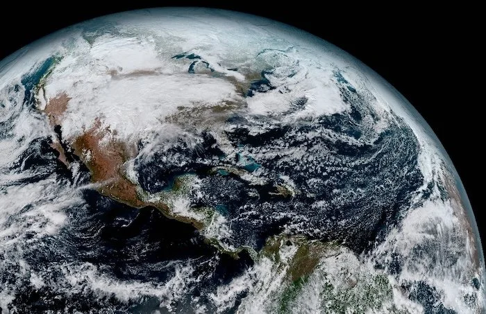
Finding Earth Imagery
Many images collected by earth-observing satellites are made available to the public free of charge. You may find the following data sources useful:
Data Formats and Software
Some imagery is available as GIF, JPEG, and PNG for viewing in a web browser, while others are stored in scientific data formats such as HDF or NetCDF and require special viewing software. Imagery in cloud-optimized GeoTIFF is used on Google Earth Engine and for import into GIS software. Some useful links are below:
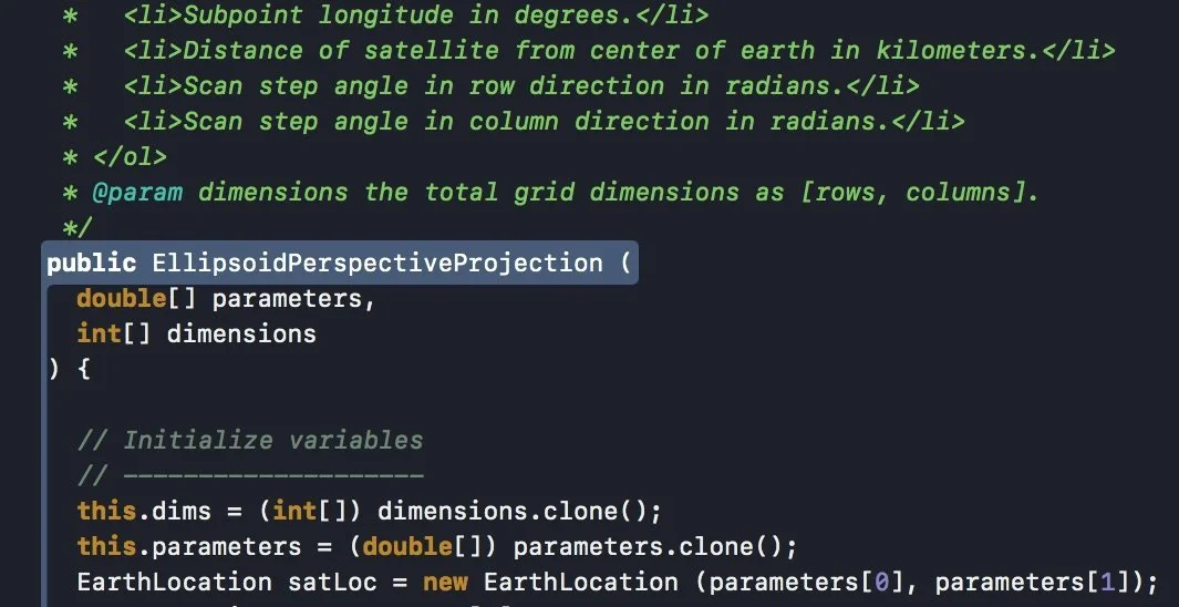
Software Development Libraries
If you want to write your own software for geographic data processing, try having ChatGPT write a Python script for you. The following libraries may also be useful (mainly for Java developers):
Technical Notes
To understand geographic coordinate systems better, see these technical notes: